
Minimum Block Size to Subdivide in Adelaide: Why It Depends on Your Zone, Frontage & TNV
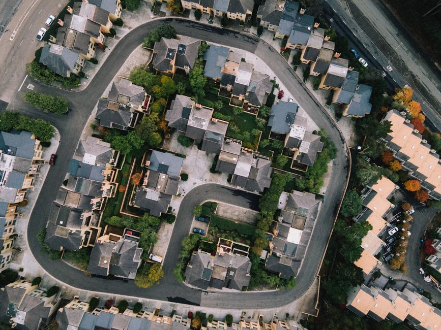
If you are asking, “What is the minimum lot size for subdivision in Adelaide?”, the honest answer is: South Australia does not have one fixed statewide number. The minimum site area and frontage width that apply to your land are set by the relevant zone in the Planning and Design Code, and may also be affected by Technical and Numeric Variations (TNVs), sometimes referred to as local variations, that apply to a specific address (Source: PlanSA — Browse the Planning & Design Code). In practice, this means that two houses on the same street, even within the same zone, may be subject to different minimum site areas or frontage widths because of TNVs, overlays or site-specific conditions. Below, we walk through the main residential zones, typical figures, and a practical method for confirming the exact requirements for your land.
Why there is no single "minimum block size" in Adelaide
South Australia’s land division rules are contained in the Planning and Design Code. They vary depending on the zone that applies to your land, and may be further adjusted by any TNVs that fine-tune minimum site area, frontage width and height for a specific location (Source: PlanSA — Browse the Planning & Design Code). This is a point many property owners easily miss: TNVs sit on top of the zone as technical or numeric requirements, meaning the same zone may produce different minimum values at different addresses. Because TNVs cannot be reliably read from a generic table, the safest figures come from checking your exact address through the South Australian Property and Planning Atlas (SAPPA) and the browsable Planning and Design Code on PlanSA. These tools return the zone, overlays and relevant Code information for that specific address, rather than just the default zoning numbers (Source: PlanSA — Zoning for a property).
Treat every figure below as a common reference point or default value only. A TNV may increase, decrease or otherwise modify the figure for your specific street or allotment.
Common residential zones and why the numbers vary
The Code places many residential sites into a series of neighbourhood zones, each with its own land division characteristics: Established Neighbourhood, General Neighbourhood, Suburban Neighbourhood, Hills Neighbourhood, Master Planned Neighbourhood, Township Neighbourhood and Waterfront Neighbourhood (Source: Kelledy Jones Lawyers — De-coding Phase 3 of the Planning and Design Code).
General Neighbourhood Zone. Where no TNV or other special restriction changes the outcome, the Code’s land division standard for a detached dwelling is generally a minimum site area of 300 m², excluding any “battle-axe” access handle, and a minimum frontage width of 9 m. Semi-detached dwellings and group dwellings usually apply the same 300 m² / 9 m standard (Source: General Neighbourhood Zone land-division comparison table). This zone also contemplates smaller allotments for higher-density dwelling forms, so the minimum depends on the dwelling type rather than one single fixed number:
Detached dwelling — Minimum site area: 300 m² (excl. handle); Frontage / access: 9 m frontage
Semi-detached / group dwelling — Minimum site area: 300 m²; Frontage / access: 9 m frontage
Row dwelling — Minimum site area: 200 m²; Frontage / access: ~7 m average frontage
Terrace form — Minimum site area: 200 m²; Frontage / access: —
Battle-axe allotment — Minimum site area: —; Frontage / access: 5 m minimum access handle
Meeting the minimum site area does not guarantee approval; access, frontage width, overlays, stormwater, vehicle access, tree protection and built form still matter.
(Source: General Neighbourhood Zone land-division comparison table). These Code figures replaced earlier Development Plan figures, such as the former approximately 340 m² figure that applied to some detached dwelling allotments (Source: General Neighbourhood Zone land-division comparison table).
Suburban Neighbourhood Zone. In these lower-density suburban areas, the Code controls outcomes more through residential density, site conditions and development form than through a single lot-size number alone. Medium-density development exceeding 70 net dwellings per hectare will generally only be considered where the site is greater than 1,200 m² and has a frontage width of at least 35 m; otherwise, development is generally kept below 70 dwellings per hectare. This zone often has a 9 m / 2-storey building height limit (Source: PlanSA — Fact Sheet: New Neighbourhood Zones and Subzones).
Established Neighbourhood Zone. This zone is oriented towards existing neighbourhood character and streetscape form. Land division outcomes are generally assessed against the prevailing local pattern, streetscape, allotment width and existing development pattern, rather than by relying only on a fixed minimum number. As a result, there is often no single figure that can be quoted separately from the address — your proposal will be assessed against the surrounding streetscape and the specific Code requirements (Source: Kelledy Jones Lawyers — De-coding Phase 3 of the Planning and Design Code).
For the remaining neighbourhood zones — Hills, Township, Master Planned and Waterfront — the specific minimum site area is best confirmed directly in the Code for your address. They cannot be reduced here to a single published figure, and TNVs or other location-specific requirements may apply (Source: PlanSA — Browse the Planning & Design Code).
Rural and peri-urban land
On the rural fringe, the minimums are usually much larger. Across South Australia, allotment sizes in the Rural Living Zone range from around 1,200 m² to 20 hectares, which shows just how location-specific these minimums can be (Source: PlanSA — Fact Sheet: Rural Living). The figure that applies to any individual parcel must be confirmed property by property.
A useful rule of thumb (with a caveat)
As a starting reference for Greater Adelaide, a block will often need to be larger than around 700 m² before it becomes a realistic candidate for a standard “one into two” subdivision. This is only a planning rule of thumb. The actual minimum depends on your property’s specific zone, TNVs, lot shape, frontage width, service access conditions and council requirements, rather than a fixed 700 m² threshold (Source: City Surveyors Adelaide).
How to check your own property: 5 steps in SAPPA and the Code
Rather than rely on a generic number, confirm the figures that genuinely apply to your land:
Open SAPPA. Go to the South Australian Property and Planning Atlas at sappa.plan.sa.gov.au and search your property by address, or by plan parcel or certificate of title number.
Identify your zone and overlays. In the Land Parcels panel, select the Planning Zones and Overlays button to see the zone (for example, General Neighbourhood) and any overlays affecting your site.
Open the matching zone in the Code. Go to the browsable Planning and Design Code at code.plan.sa.gov.au and open the zone SAPPA returned, then read its land-division provisions for minimum site area and frontage.
Check for a TNV / local variation. Within that zone, look for any Technical and Numeric Variation tied to your locality — this is where the same zone produces a different minimum site area or frontage for your address. The TNV figure overrides the generic zone default.
Cross-check the assessment pathway and confirm with a professional. Note whether your proposal sits in a Deemed-to-Satisfy or Performance Assessed pathway, then have a surveyor or development manager confirm realistic yield before you commit — noting that SA's tightened residential infill standards are moving the very rules that set it (source: PlanSA — Zoning for a property).
What subdivision actually involves
In South Australia, land division generally refers to changing boundaries or dividing land into two or more allotments. It can result in different title structures, including Torrens title, Community title, Community Strata Title, or arrangements related to an existing Strata Title. The process usually involves the local council, statutory referral bodies and relevant authorities within the state planning assessment system. To complete the process, the relevant transaction documents and Plan of Division must be registered with Land Services SA (Source: Land Services SA — Land Division Process). A land division application may be referred to council and agencies such as SA Water and SA Power Networks. Once conditions are cleared and the required approvals are obtained, a Certificate of Approval is issued, after which the certified survey plan and related documents are submitted to Land Services SA for examination before new titles can be issued (Source: Eckermanns — Residential Land Subdivision).
For a fuller walkthrough of the end-to-end process, see our guide on how to subdivide land in SA, and if you are still at the feasibility stage, can I subdivide my block in SA? covers the threshold questions.
Cost and timeframe
Standard 1-into-2 division (metro, all-in): ~$30,000–$34,000 (source: Sawley Lock)
Statutory base lodgement fee: ~$95.50 to ~$3,154 by works value (source: PlanSA — Application fees)
Planning assessment fee: ~$146–$242; Deemed-to-Satisfy vs Performance Assessed differs (source: PlanSA — Application fees)
Hard-copy lodgement surcharge: ~$92.50 if not lodged electronically (source: PlanSA — Application fees)
End-to-end timeframe: ~6–9 months to new titles (source: Alexander Symonds)
The council/SCAP assessment phase alone often takes roughly 2–3 months, with the final Lands Titles Office examination around 3–4 weeks; complex divisions take longer (source: Alexander Symonds). Rural divisions can cost less where some government fees do not apply (source: Sawley Lock). The figures above reflect the 2025-26 schedule; most SA statutory fees update on 1 July, so confirm the current 2026-27 figures on PlanSA before relying on them (source: PlanSA — Application fees).
Frequently asked questions
Q: Is there one minimum block size to subdivide anywhere in Adelaide? No. The minimum is set by your zone in the Planning and Design Code plus address-specific TNVs, so it varies property to property — even within the same zone (source: PlanSA — Browse the Planning & Design Code).
Q: What is the minimum for a standard detached dwelling in the General Neighbourhood Zone? The Code's land-division standard is typically 300 m² minimum site area (excluding any battle-axe handle) and a 9 m frontage, subject to any local TNV (source: General Neighbourhood Zone land-division comparison table).
Q: My block is about 700 m². Can I subdivide? Possibly. Around 700 m² is a common rule-of-thumb starting point for a one-into-two in metro Adelaide, but your zone, TNVs and council rules decide the actual answer (source: City Surveyors Adelaide).
Q: How long does subdivision take in SA? Commonly about 6–9 months from lodgement to new Certificates of Title, with SCAP/council assessment around 2–3 months (source: Alexander Symonds).
Q: How do I find the exact minimum for my property? Look up your address in SAPPA, then open the matching zone in the browsable Planning and Design Code on PlanSA to get the address-specific minimum site area and frontage, including any TNV (source: PlanSA — Zoning for a property).
How Cyberate PM can help
The single biggest cost in a subdivision is committing to numbers that turn out to be wrong — a zone default that a TNV quietly overrides, a frontage that fails on assessment, or a yield that does not stack up. As an Adelaide development manager, Cyberate PM removes that uncertainty: we confirm your property's exact zone, TNVs, frontage rules and realistic allotment yield up front, then manage the SCAP and Land Services SA process end to end so the application is right the first time and avoidable rework is designed out. Start with a property feasibility report to see the real numbers for your block before you spend a dollar on plans, or, if you own the land and want a partner to carry the delivery risk, see how a landowner partnership works. Send us your address and we will pull your zone and TNV figures and tell you, plainly, whether your block is a viable subdivision.
Sources
PlanSA — South Australian Property and Planning Atlas (SAPPA)
General Neighbourhood Zone land-division comparison table (PlanSA Code reproduction)
City Surveyors Adelaide — What is the Minimum Block Size for Subdivision in Adelaide
Sawley Lock — How much does it cost to subdivide land in South Australia
Alexander Symonds — Your Guide to the Land Division Process in South Australia
Expert property development and project management insights.
Not Sure Whether Your Site Stacks Up?
Send us the address and your goal. We will identify the first planning, buildability and feasibility questions before you commit further capital.